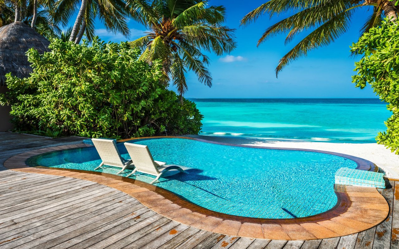
The entry is the same one it's always been: a lava ledge off Hanapepe Loop, a giant stride into deep water, and if the swell is right, a slow swim over the shelf toward the beach at Koke'e Park. Divers who know Koko Kai Park know that the exit here is the tricky part, which is why most wait for an incoming tide and let the current carry them next door rather than fighting their way back up the ledge they jumped from. It is a route locals have worked out the hard way, one dive at a time, for years.
What's different this year is what is waiting under the water once you're in it. The stretch of Maunalua Bay that Koko Kai Park and Koke'e Park share is currently the target of three separate restoration efforts running on three very different schedules, funded by three very different sources.
Two Entry Points, One Shelf
Koko Kai Park and Koke'e Park aren't two unrelated beaches that happen to sit near each other. Divers treat them as a single loop: enter at Koko Kai Park's natural ledge, drift along the shelf, and surface at Koke'e Park's easier public access point. The shelf between them is flat, reticulated rock, the kind of terrain that looks more like a mainland butte formation than a typical Hawaii reef, and it has historically drawn more spearfishers and cliff jumpers than snorkelers hunting coral.
That is worth knowing before the next part, because the coral cover on this particular stretch has never been its selling point. What has changed is that this shelf now sits inside the working boundary of a restoration effort with real money behind it, and a separate, faster-moving one that shows up whenever a storm tears the reef apart.
The Slow Clock
In December 2025, the nonprofit Mălama Maunalua secured a $4.6 million grant from the National Fish and Wildlife Foundation's National Coastal Resilience Fund. The money funds a project called Pipeline, a ridge-to-reef effort that treats the whole watershed feeding Maunalua Bay as one system rather than treating the reef as something separate from the streets and hillsides above it. Implementation started in early 2026 and is scheduled to run through mid-2028.
The plan is specific about what it expects to deliver: six acres of native forest restored, four green infrastructure projects built to capture more than 850,000 gallons of stormwater runoff a year, and at least 3,000 thermally resilient coral fragments outplanted across 10 acres of reef. None of that is abstract. Stormwater runoff carrying sediment and fertilizer off the hillside is one of the reasons algae has been able to smother coral on stretches of this bay for years, so a stormwater number and a coral number are two ways of measuring the same fix.
A separate but related effort is moving on the same slow clock. In April 2026, the Department of Land and Natural Resources partnered with the Hawaiʻi Tourism Authority on a federally funded coral outplanting project. The first installation happened at Kewalo Basin. The second is planned near the Hawaiʻi Loa Ridge SCUBA dive site, inside Maunalua Bay, with a combined target of roughly 100 nursery-grown corals across both south shore locations by the end of 2026. DAR's Hawaiʻi Coral Restoration Nursery grows the corals on Sand Island first, since Hawaiian coral species grow slowly enough that waiting for natural recovery isn't realistic on a human timeline.
The Fast Clock
Grant cycles and permitted outplanting move on a schedule set years in advance. Storm damage doesn't wait for anyone's calendar, and the response to it runs on an entirely different clock.
The Garden Island reported that after the Kona Low storms hit Oahu and Maui in March 2026, teams from Kuleana Coral Restoration went into Maunalua Bay and reattached more than 400 corals that had been torn loose, flipped, or shattered by surge and flood debris. Executive director Alika Peleholani Garcia has said that coral tissue can survive being buried under sand for only two to three weeks before it dies completely, which is the entire reason this kind of response has to happen in days rather than months. By June 2026, Kuleana Coral had reached a statewide milestone of 10,000 corals planted and repaired since the organization started.
"That's the neighborhood returning."
— Alika Peleholani Garcia, as quoted by Aloha State Daily.
That's how Garcia described what happens when a reattached coral survives long enough to become structure again, giving fish, crabs, and shrimp somewhere to come back to.
The seriousness of this kind of emergency response is now backed by something new statewide: a parametric insurance policy the Nature Conservancy purchased in 2022 specifically to fund rapid reef repair after hurricanes. It paid out for the first time in 2026, triggered by Hurricane Lala's damage on the Big Island, with a minimum payout of $200,000 designed to get responders in the water within weeks rather than waiting on a slower disaster-relief process. That policy didn't touch Maunalua Bay directly, but it says something about how far storm-response reef work has come from an all-volunteer scramble. The same Hawaii Emergency Reef Restoration Network that coordinated the Big Island response is the network Kuleana Coral works through here.
Here's what that looks like side by side:
| Organization | What they're doing | Where | Timeline |
|---|---|---|---|
| Mălama Maunalua | Forest restoration, stormwater capture, coral outplanting | East Honolulu watershed feeding Maunalua Bay | Early 2026 through mid-2028 |
| DLNR / Hawaiʻi Tourism Authority | Nursery-grown coral outplanting at two south shore sites | Kewalo Basin and near the Hawaiʻi Loa Ridge dive site | Roughly 100 corals planted by end of 2026 |
| Kuleana Coral Restoration | Emergency reattachment of storm-damaged coral | Maunalua Bay, following March 2026 Kona Low storms | Days after each storm event |
Three organizations, three funding sources, two speeds. All of it lands on the same shelf a Koko Kai Park diver swims over on an ordinary Saturday.
How to Get Involved in Reef Monitoring
One way to participate is through Ocean Alliance Project, a Hawaii Kai-based nonprofit, which runs ongoing ecological monitoring dives at plots around the bay, including one called Turtle Canyons, where teams lay measuring tape along the reef and tally the fish and invertebrates they see. That data feeds a running spreadsheet the organization uses to figure out where restoration is actually working and where it needs to shift.
Through a partnership with Waikiki Dive Center, Ocean Alliance Project also runs shorter conservation courses open to certified divers and families, including a one-day coral reef ecology and monitoring course and a sea turtle photo-ID program. None of it requires a research background. It requires a certification card, a willingness to learn a survey method, and a morning.
For a neighborhood where the reef has mostly functioned as scenery, that's a genuine shift. Residents can take part in reef monitoring rather than simply observe from shore.
What the Community Association Has to Do With Any of This
The Maunalua Triangle Koko Kai Community Association exists to represent both neighborhoods it's named for, run entirely by volunteers, with a stated mission of keeping the area a place where community life gets built and not just a collection of addresses. Reef health doesn't show up in their name, but it's the kind of thing an all-volunteer, place-based board tends to end up caring about eventually, since it's one more piece of what makes the neighborhood function the way it does day to day.
None of the organizations above answer to the community association directly; their reef-health work in and around Maunalua Bay is separate from the association’s role.
The Water Looks the Same From the Ledge
Stand at the entry point at Koko Kai Park today and it looks exactly like it did five years ago: the same ledge, the same drift toward Koke'e Park, the same tricky exit that makes locals wait for the tide. What's different is happening slightly out of sight, on a slower clock funded years in advance and a faster one that only spins up after a storm. Both are running on the same reef right now, and for once, showing up to watch isn't the only option.
If this stretch of coastline is part of why you live in Koko Kai, and you're curious how the neighborhood's own real estate reflects what's happening along the water, Francein Hansen is always glad to talk through it. And if a conversation about your own property here is ever on the horizon, that's a call worth making too. Schedule a strategy session whenever the timing is right.